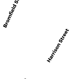
2 HARRISON ST
Owner Information
SWAP MARIE MARGUERITE L/I
2 HARRISON STREET
NEWBURYPORT, MA 01950


Property Details
2 HARRISON ST is classified as a Single Family Residential (Antique).
The primary structure on this property was built in 1850. There are 3476ft2 of built area within this property. There is 1844ft2 of residential/living space within this property. This property is listed as having 90 rooms.
2 HARRISON ST is valued at 825600. The land is valued at 444400 and the structures are valued at 377900. There is an additional valuation of 3300 on this property.
This property is in Zone R3. Confirm with local Zoning Board authorities to ensure there are no overlays or other easements on this property.
The most recent deed for 2 HARRISON ST is recorded at the local registrar in Book 10420, Page 193. 2 HARRISON ST was last sold on 1990-05-02 for 1.
Assessment data from fiscal year 2021.
Flood Data
This property has multiple flood prone designations.
| Zone | Description | BFE | Area |
|---|---|---|---|
| AE | within floodplain | 15 | 0.02 (23.5%) |
| VE | coastal flooding with wave action | 15 | 0.06 (76.51%) |
This information is sourced from the FEMA National Flood Hazard Layer. See our full disclamer.
Broadband Internet Providers
| Provider | Type | Bandwidth (mbps) | |
|---|---|---|---|
| GCI Communication Corp. | Satellite | 0 | 0 |
| HughesNet | Satellite | 25 | 3 |
| VSAT Systems, LLC. | Satellite | 2 | 1 |
| Comcast | Cable | 1000 | 35 |
| Viasat Inc | Satellite | 100 | 3 |
| Verizon New England Inc. | DSL | 10 | 1 |
| T-Mobile | Fixed Wireless | 25 | 3 |
Broadband service provider data from December 2020.